The uPcycle Metadatabase
The Data Team have been busy collating and analysing datasets for use across the whole project.
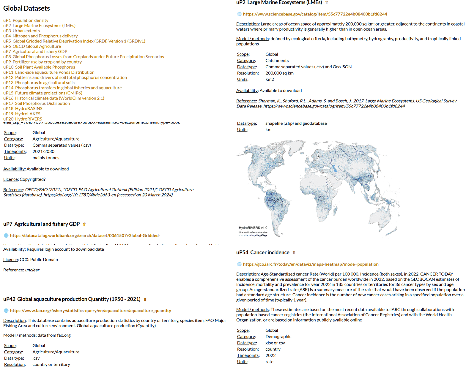
As part of this work, they have developed a shared ‘metadatabase’, which allows those involved in the project to understand:
what relevant datasets are available at global and country-level scales,
how they can be used in terms of accessibility, licensing and attribution,
the data theme they are in, including agriculture/aquaculture, biodiversity, catchments, climate, demographic, environment, nutrients.
This output describes the data that has been stored for use in the project and works as a visual layer to describe these 100+ data sources. Data type and units are detailed for all datasets, with resolution and scale added for spatial data, timepoints / ranges for temporal data and a description of model methods for modelled data.
The metadatabase is generated dynamically via code that ‘reads in’ a simple database of datasets, which can easily be added to by staff across the project. It makes the job of adding data as simple and seamless as possible, whilst encouraging contributions and contributors.
With over 85 global datasets and over 15 at a national level, this vast collection of data is powering the project towards its goals.


